
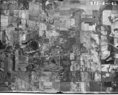
Here we have the area west of Ainsworth, surrounding the old Lincoln Highway. The far left of this photo shows the area where I-65 now runs north-south. The new Route 30 runs east-west across the bottom of the photo. Other than that, mostly just farmland.
(Click on images to enlarge)
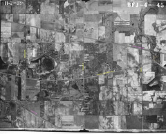
Here it is again with some of the features labeled.


No comments:
Post a Comment