
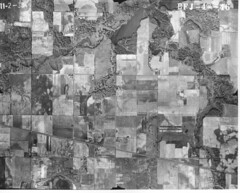
In this first one, the Grand Trunk Railroad runs diagonally across the lower third of the photo, while at the top you can see the Deep River beginning to widen into Lake George.
(Click on images to enlarge)
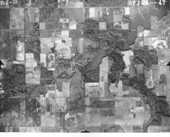
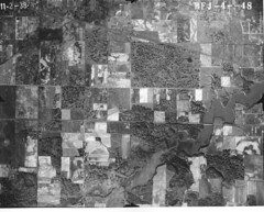
The next two just continue moving north.
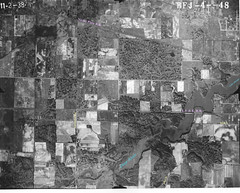
Here's that last one again with some of the features labeled.


No comments:
Post a Comment