
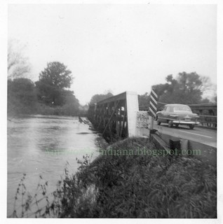
The first shows the bridge on 37th Avenue west of State Road 51, nearly swamped.
(Click on images to enlarge)
Images courtesy of Eldon Harms.
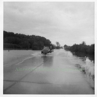
The second shows State Road 51 north of 37th Avenue, well and truly swamped.
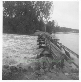
Here's the tumble dam, tumbling like crazy.
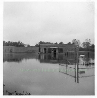
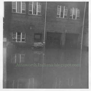
Here's the water treatment plant, getting the water treatment.
And finally, this is the rear of 200 N. Main — then a NIPSCO office, now the Villa del Sol restaurant.
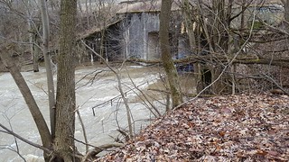
Here is my own contribution, taken yesterday in Deep River County Park. The park's Facebook page had noted that the hiking trails were impassable, and truly it spoke — at least concerning the trails at the level of the river. This is the trail that passes under the Canadian National Railroad bridge. At the center of the photo you can see the handrail poking up from the rushing waters of the Deep River.
Higher trails were flooded only in spots.


No comments:
Post a Comment