Investigation and images by Dan Kleine.
This image from Google's satellite view is marked with the location of the dam on the south side of 73rd, just west of County Line Road.

(Click on images to enlarge)
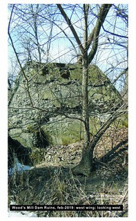
These photos show the remains of the dam.


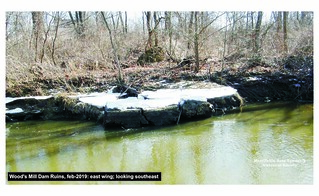
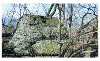
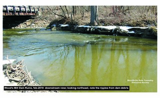
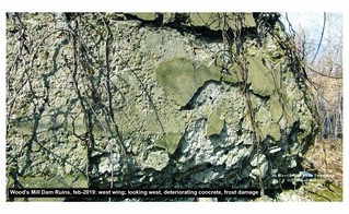


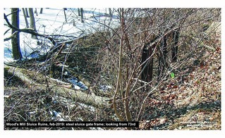
These photos focus on the sluice that controlled the flow of water through the underwater turbine that powered the mill.



There were two dams: the original one (wooden), and a new one built circa 1920 (concrete). We don't know if the new one replaced the old in exactly the same location. Dan intends to look for any remains of the old wooden dam when time permits.
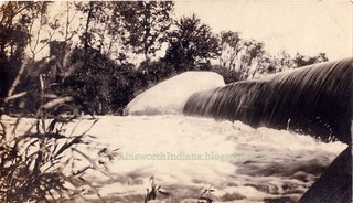
From another local historian, we have these two photographs of the concrete dam dating to the 1920s.
(Click on images to enlarge)
Images courtesy of R.F.

The second one appears to have been taken from the Lincoln Highway (73rd Avenue) bridge over the Deep River.


4 comments:
Amazing how clear and open it is to the south...even in the 70s when the old overhead bridge crossed Deep River, it was choked with trees then... already a very shady Glade..
This wide open view is disorienting.
John Wood almost perished in maintaining the first dam, this is probably a good time to refresh that story.
The John Wood story is told in the first newspaper article in this post: https://ainsworthindiana.blogspot.com/2015/12/the-day-dam-broke.html
Yes, I recall this item as a "just the other day" news posting and as very important perspective in my life in the Pokagon Potowatami lands.
Post a Comment