'Twas the 16th of June, 1903 …
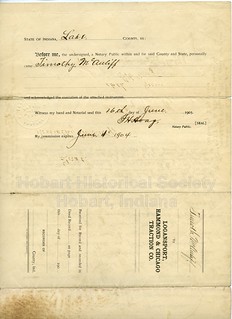
(Click on images to enlarge)
Images courtesy of the Hobart Historical Society and Jocelyn Hahn Johnson.
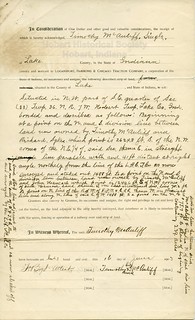
The description refers to the "line of the L.H.C.T.Co. as now surveyed and staked out," which may have been apparent enough in 1903, but certainly isn't now. However, from looking at the McAuliffe land on the 1908 Plat Map, with the Sykes* land on the west and the Hancock land on the east as mentioned in the description, I suppose it was just a strip of land running across the southern part of the McAuliffe farm (possibly alongside the Pennsy and Nickel Plate tracks):
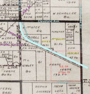
(Click on image to enlarge)
Another document pertaining to this agreement between the parties deals with drainage and the removal of timber from the land.
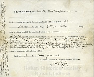
The Logansport, Hammond & Chicago Traction Co. was just over a month old when these documents were signed, having filed its articles of association with the Indiana Secretary of State on May 4, 1903 (Annual Report of the Officers of State of the State of Indiana … for the Fiscal Year Ending October 31, 1904).
The Indianapolis Journal of May 7, 1903 reported on the first meeting of the L.H.&C.T.Co.:

(Click on image to enlarge)
In 1909, a historian of Indiana's interurban railways classified the Logansport-to-Hammond line among some 16 lines "projected, but not as yet built. … Work has been done on some of these lines, and it is probable that some of them will be completed in the near future, but most of them have been totally abandoned." (Fred B. Hiatt, "Development of Interurbans in Indiana," Indiana Magazine of History, Vol. 5, Issue 3 (1909)).
And here we too shall abandon the Logansport, Hammond & Chicago interurban, leaving it to genuine railroad enthusiasts to tell the whole story, if possible.
[12/4/2015 update] OK, just a little more of the story — this article from the Hobart Gazette of June 12, 1903, describes the planned route of the L.H.&C. line as it was understood by "some" in Hobart:
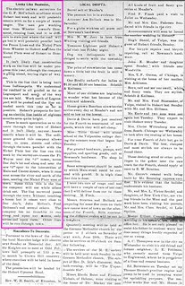
(Click on image to enlarge)
The next week's "Local Drifts" column included this item: "It is said the right-of-way man for the electric road has been buying right of way east of town, paying about $50 an acre and securing a 100-foot right of way. The surveyors for the road have run a line west of town to the Calumet marsh and for the past few days have been running a number of lines through town." The McAuliffe land was east of town.
__________________
*Another Sykes farm!


No comments:
Post a Comment